Digital Editions
-
Critical service opened
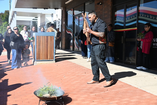
ACCESS to community alcohol and other drug services has expanded to Swan Hill, as First Peoples led Ngwala Willumbong opened its doors on Beveridge Street…
ACCESS to community alcohol and other drug services has expanded to Swan Hill, as First Peoples led Ngwala Willumbong opened its doors on Beveridge Street…
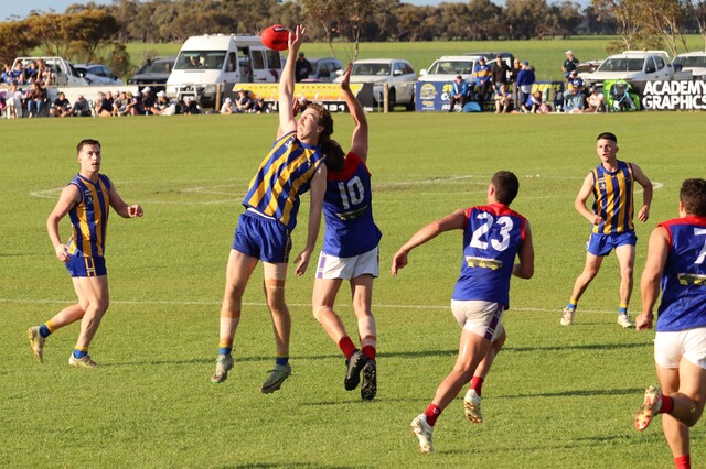
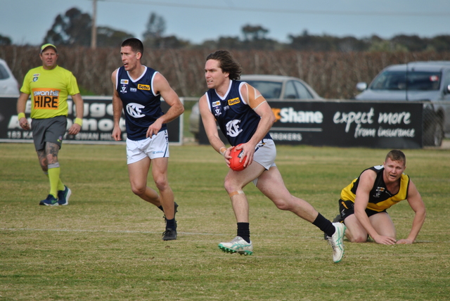
THE Mallee Eagles won’t be rolling out the red carpet for rivals Balranald when the two clubs meet at Lalbert, with former Eagles coach Brent Macleod coaching against his former…
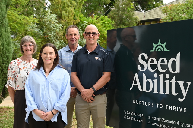
SEED Ability has joined Country Universities Centre Mallee to strengthen pathways for students into allied health careers, becoming the centre’s first local platinum partner. With a contribution of $5000, Seed…
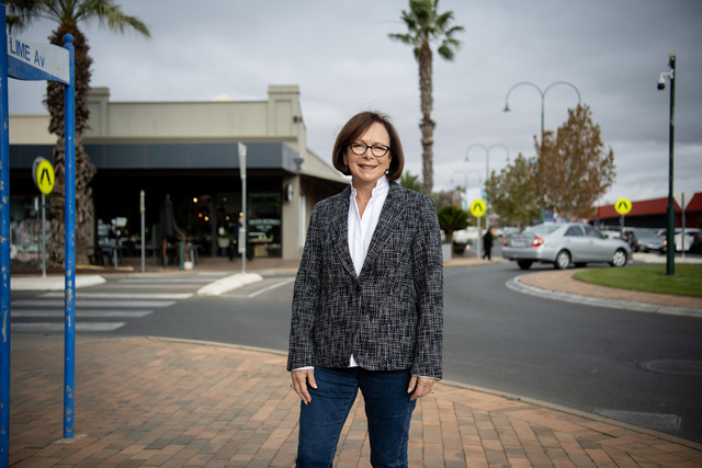
A FORMER Melbourne councillor with a history of political run-ins has thrown his hat into the ring to replace retiring Nationals heavyweight Peter Walsh, declaring he is the candidate to…

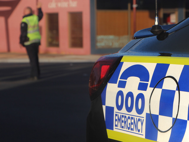
STURT Highway at Paringi has reopened following a two-truck truck crash on Wednesday. Emergency services responded to the collision about 5.20am and closed the NSW stretch of the highway between…
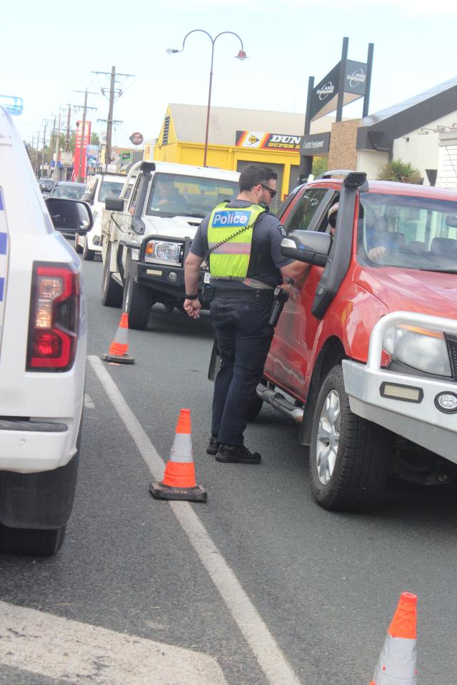
ANOTHER Easter long weekend has passed without a road fatality in Swan Hill, Buloke and Gannawarra shires, keeping a two-decade long streak of travellers returning home safe. However, not all…

It won’t just be our region's footballers and netballers who will begin another campaign over the coming days, with the Swan Hill Soccer League’s senior squads also opening their 2026…
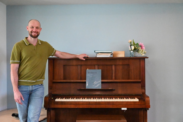
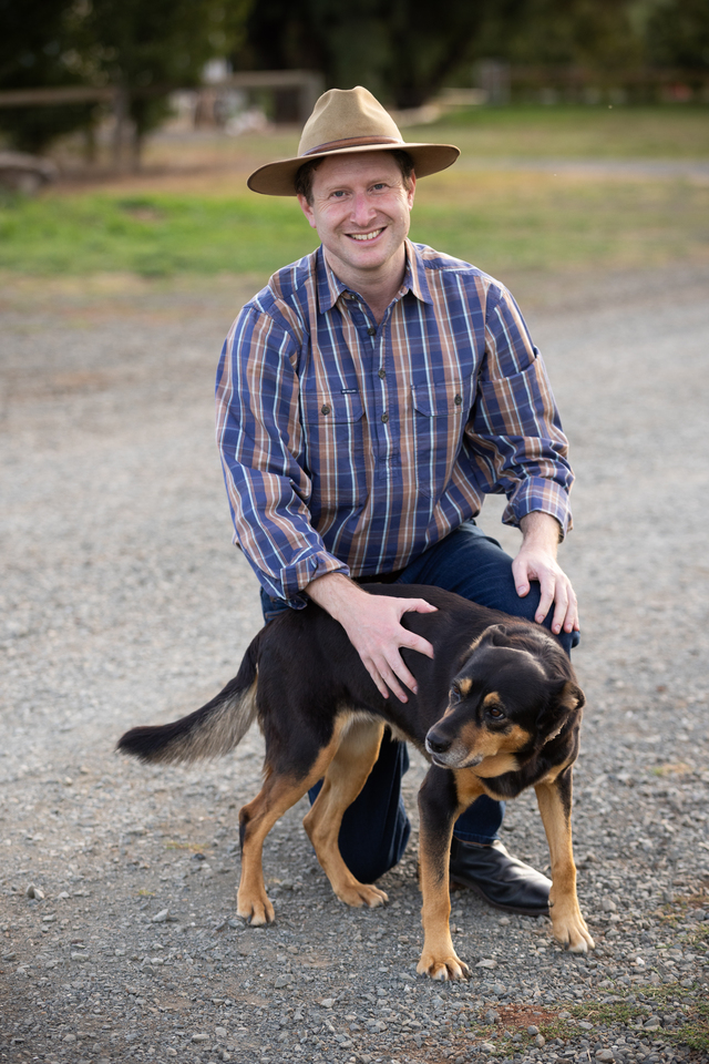
MUSIC has a way of connecting generations and nowhere was that clearer than when internationally acclaimed pianist Tom Williams sat down to play for the residents at Hope Aged Care.…
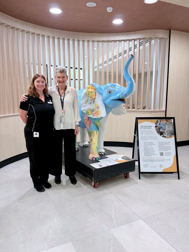
A STRIKING new feature will greet visitors at Swan Hill District Health’s 1860 Café this April, with the health service proudly hosting the Elephant in the Room installation. Delivered in…
SWAN HILL Arson: POLICE are investigating a suspicious fire involving building debris and household items at a property on Murray Valley Highway on 5 April. Police said they believed it…
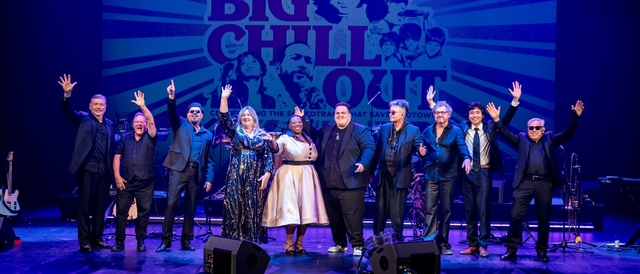
AUDIENCES are preparing to relive the music that defined a generation as The Big Chillout, a joyous Motown experience arrives in Swan Hill on 17 April. The feel-good live show…